
Flood Risk Communication through Mural Art in Rajapur Municipality
As the country awaits monsoon season, which accounts for 80% of its total rain, it is crucial to prepare communities to respond effectively to potential flood events.
Nepal Views
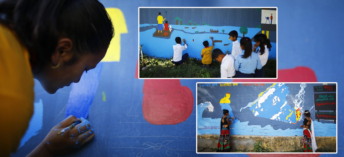
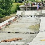
Kathmandu: A three-day mural art event has been completed in a highly flood-prone local school of Rajapur in Ward 1. The event was organized from 8 to 10 May 2023 to sensitize and communicate the flood risk of the community through scientific data.
For the event, Kalika Secondary School in Ward 1 was selected. Kalika Secondary School, Chanaura faces yearly inundation from the flood waters entering from the Karnali River.
As the country awaits monsoon season, which accounts for 80% of its total rain, it is crucial to prepare communities to respond effectively to potential flood events. The frequent flooding of Rajapur municipality, located between the Geruwa and Karnali rivers, has affected the daily lives of the local community, living in constant fear of floods. Climate change has resulted in incessant rain in recent years, causing water levels to rise and leading to flooding.
Even a small flood could cause BudhiKulo, a river in the area, to leave its natural course and gush into crop fields and human settlements. Although early warning systems have been established in Rajapur, significant economic loss due to the inundation of houses and agricultural land continues to disrupt livelihoods.
The aftermath of disasters has a profound and lasting impact on people’s lives, and effectively communicating about them can be a challenging task. In the case of floods, murals can serve as powerful tools for conveying vital information on how individuals can act before, during, and after a flood to reduce its impact. For example, a mural can illustrate the implementation of early warning systems, educate the community about flood risks, and provide information on evacuation routes and safe shelters.
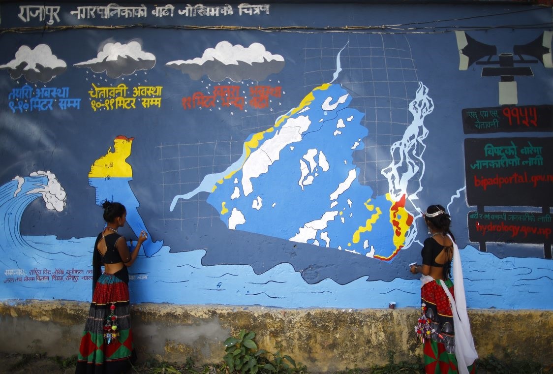
The Mural created on the walls of the school consists of several components of data and science which include the early warning flood level threshold set by the Department of Hydrology and Meteorology, a map of Rajapur municipality for a 100-year flood return period depicting the flood depth and flood-related information on SMS alert, Bipad Portal and official source of information for flood and rainfall.
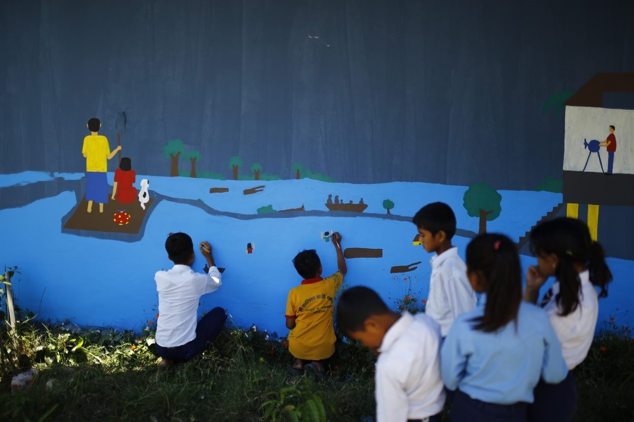
Two murals were created, one focusing on the scientific aspect of flood risk and the second mural focused on portraying the experiences of the flood impacts on the school children. This kind of mural is the first-ever attempt to depict data and science-related information on flood levels in a local school.
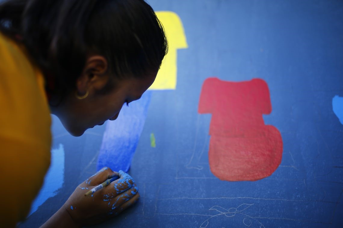
In the preparatory phase for the event, the design of the mural was prepared according to the suggestion from the representatives of the Department of Hydrology and Meteorology, National Disaster Risk Reduction and Management Authority, and Rajapur Municipality. The students to be involved were selected based on their drawings submitted. The team of Youth Innovation Lab provided a short orientation to the students on the objective of the mural art and a pre-assessment was conducted to gain their understanding of the flood impacts. The students also reflected on their experiences by sketching a drawing on paper. After that, a mural artist from the team guided the students in painting their flood experiences on the wall.

The mural art was observed by the Mayor, CAO, and Ward official of Rajapur municipality and provided feedback on the innovative approach of risk communication to the larger mass of the audience. After completion of the event, the team concluded the event by giving more information on the components included in the mural to the students.
The event was organized as part of a project ‘Climate Change Scenarios to Inform Community-based Adaptations and Planning in Nepal’ funded by UKAID in partnership with Rajapur municipality. The project is piloting innovative approaches to inform and capacitate local actors to facilitate effective data-informed risk communication, planning, and decision-making in Bhotekoshi rural municipality and Rajapur Municipality.
Nepal Views
Friday May 12, 2023Related News


Trending
-
1
Rejuvenating Pumdikot (Photo Feature)
-
2
‘Hatya’: Crime and psychological thriller (Photo Feature)
-
3
Lions Clubs distribute educational materials and uniforms to students in Sindhupalchok (Photo Feature)
-
4
‘Sickroom’-Undeclared love story between childhood friends (Photo Feature)
-
5
KMC’s muddy roads (Photos)
-
6
Anju Shrestha releases new ghazal “Yo Maya Ni Kasto”
-
7
MP Dhakal greets Pope Leo XIV
News Update
-
Jagannath Rath Yatra in Kathmandu (Photo Feature)
-
Pappu Construction’s unfinished projects in Kathmandu; 12 years but Tinkune and Teku Bridges still in Limbo (Photos)
-
323 Years of Nyatapola: Bhaktapur’s Historic Temple Celebration (Photos)
-
Still Awaiting Reconstruction: Structures washed away by flood in Panauti (Photos)
-
57 Nepali, turned hostages in India, return home
-
Kathmandu-Hetauda road in disarray amid ongoing construction (Photos)
-
Special Court demands Rs. 3.5 million as bail amount from former PM Madhav Kumar Nepal